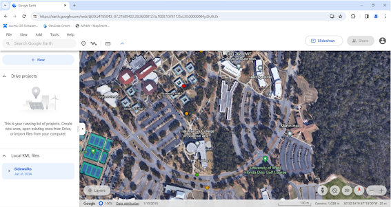
3-Dimensional Mapping

In this project, I learned how to create a 3D map using LIDAR data. I took a LIDAR dataset and converted it to a raster, which I then in turn set as the Elevation Source Layer. I also utilized building data to extrude the campus buildings to their appropriate heights within the map.
Comments
Post a Comment