ArcGIS Overview Lab Assignment
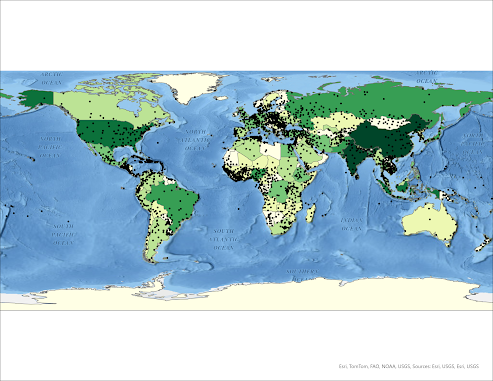
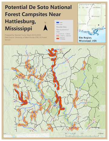
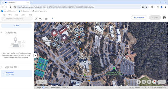
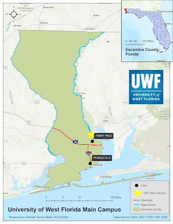
This is my first map created in GIS! In this lab, I learned the basics of folder setup for ArcGIS, particularly in application to accessing it through the ArgoApps system. I learned how to access the file repository that will be used for data and file access throughout the semester, and I created a hierarchy of folders for my own project. Then, I became familiarized with ArcGIS through navigating its settings and options and using provided data to create the above map. It includes countries and major cities, and I edited the symbols before exporting it as a PNG. In this lesson, I also learned the terms map extent, active view, explore tool, and pane.


Comments
Post a Comment